Loading the model
This device cannot show the 3D model. You can read the guide steps below as text.
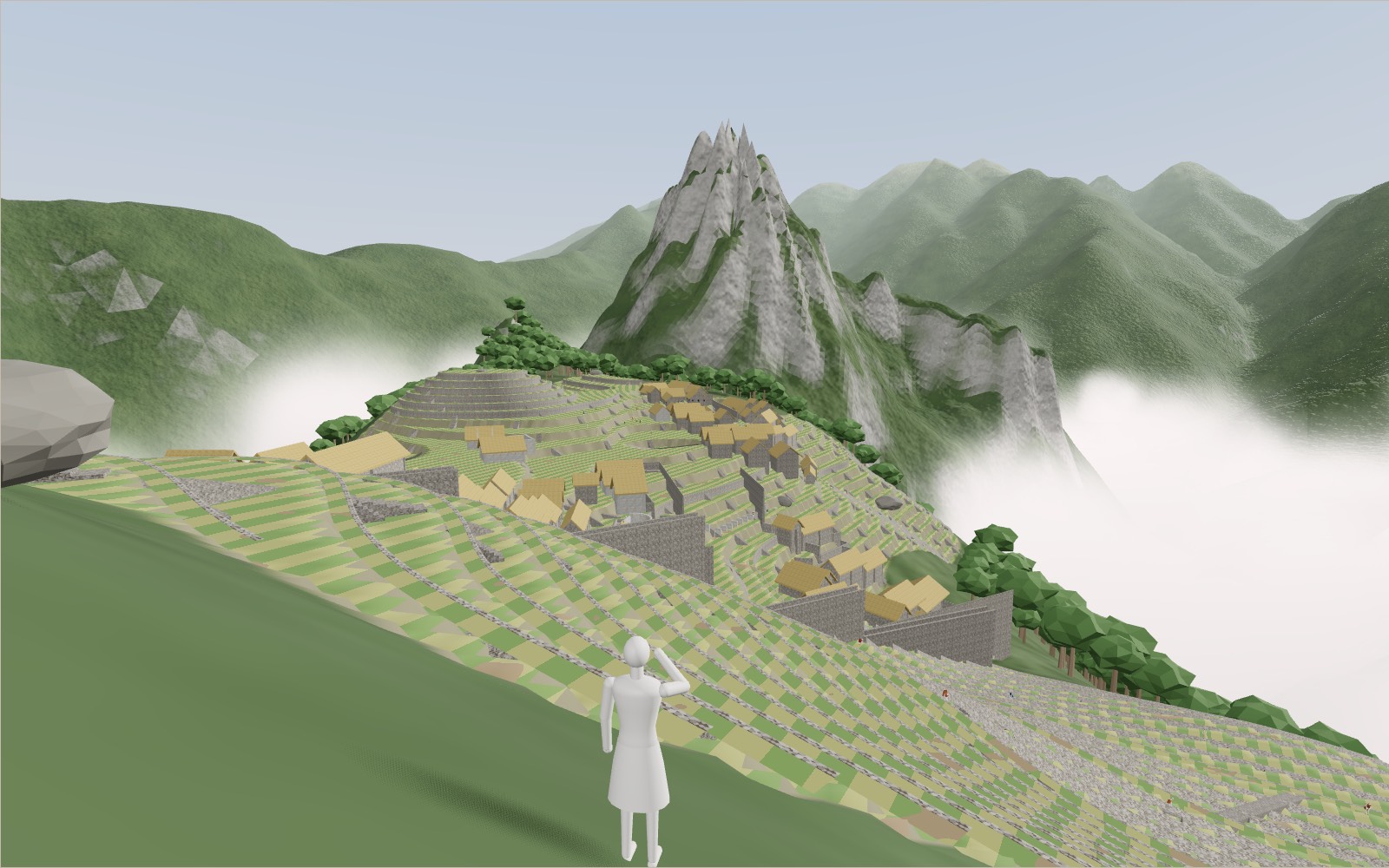
1 / 15 The cloud lifts Early morning on the upper terraces. The cloud parts and the town appears on its ridge, 2,430 m up, with Huayna Picchu behind it and the Urubamba about 450 m below. The orange figure is your height; the year bar changes the century.
Drag to turn. Scroll or pinch to zoom.
Guide Parts Controls
01 The cloud lifts Early morning on the upper terraces. The cloud parts and the town appears on its ridge, 2,430 m up, with Huayna Picchu behind it and the Urubamba about 450 m below. The orange figure is your height; the year bar changes the century.
02 Two halves of a town The main plaza runs down the middle on low terraces of lawn. To the west stand the temples and the Intihuatana, to the east houses round courtyards. The Ministry of Culture counts 193 rooms in the town.
03 Terraces on every slope The farming terraces cover 4.9 ha. Wright’s team worked out that they could feed about 55 people a year, while about 300 lived here, so most food came up from the valley.
04 Inside a terrace The ground is cut open under a terrace. Under the topsoil come sandy soil, gravel and stone chips, so the rain of nearly 2,000 mm a year drains down instead of washing the terrace away.
05 Most of the work is underground Under a house wall: footings and a bed of stone chips. Kenneth Wright estimates that 60 per cent of the building effort at Machu Picchu lies below the surface.
06 Sixteen fountains A canal 749 m long brings water from a spring on Machu Picchu Mountain. Fountain 1 stands by the royal residence; fifteen more follow it down a stairway.
07 The Temple of the Sun The Torreon is a curved wall of fine granite masonry built round a rock. It stands on a podium; a stair climbs it from the north.
08 The June solstice sunrise Inside the Torreon at sunrise on the June solstice, the winter solstice here. The sun clears the mountains and its light comes through the east window onto the rock.
09 The December sunrise The cave of Intimachay has a window cut so that the rising sun shines in only for a few days around the December solstice.
10 Earthquakes during construction The temples of the Sacred Plaza show damage from at least two strong earthquakes while the town was being built. The Earthquake switch shakes the view along the two directions measured in the walls.
11 A joint a knife will not enter In the finest walls the blocks meet so closely along the face that a knife blade will not go in. Behind the face the gaps were packed with clay. Try it in the stone lab.
12 The Intihuatana A carved granite pillar on the top of a terraced hill. Studies find alignments to the June solstice sunrise; what it was used for is still argued over.
13 The Sacred Rock The north end of the plaza. From here the path goes on to Huayna Picchu, the peak the Inca town was probably named after.
14 1911: never lost In 1911 two families farmed these terraces and drank from the Inca canal. A local farmer guided Hiram Bingham up from the river, and a boy of one of the families led him to the ruins.
15 Today A Historic Sanctuary since 1981 and World Heritage since 1983. In 2024, 1,433,000 people entered the town on three circuits; the zigzag road and the town of Machu Picchu Pueblo lie below.
Classic viewpoint The upper terraces, where the tour starts. Main plaza Lawns between the two halves. Temple of the Sun The curved wall of the Torreon. Inside the Torreon The rock and the east window. Intihuatana The carved stone on its hill. Sacred Rock The north end of the town. Three Windows The Sacred Plaza. Temple of the Condor Rock and carved stone. Fountains The stairway of sixteen fountains. Farming terraces 4.9 ha of terraces. Main gate The way in from the terraces. Quarry Granite broken on the spot. Main drain The trench over the fault. Intimachay The December solstice cave. From above The ridge, the river and Huayna Picchu.