Loading the model
This device cannot show the 3D model. You can read the guide steps below as text.
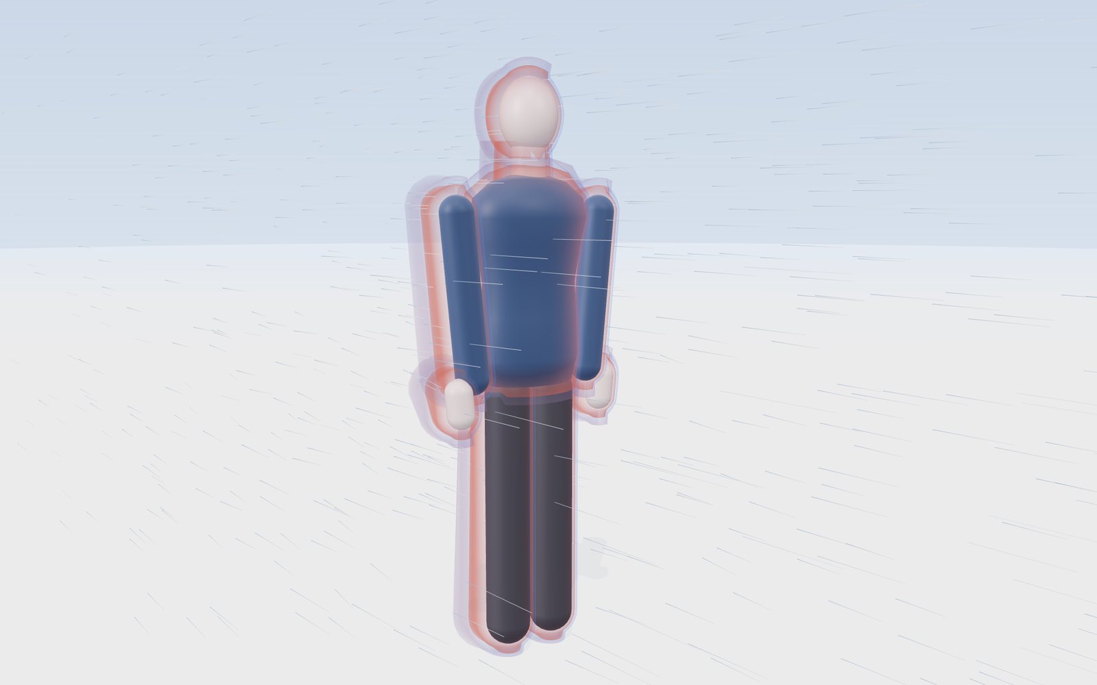
1 / 11 The NWS chart example 0 °F and a 15 mph wind. The chart reads −19 °F: on bare skin this wind takes heat away as fast as still air at −19 °F would. Drag to turn the view.
Drag to turn. Scroll or pinch to zoom.
Guide Parts Controls
01 The NWS chart example 0 °F and a 15 mph wind. The chart reads −19 °F: on bare skin this wind takes heat away as fast as still air at −19 °F would. Drag to turn the view.
02 A calm day With no wind the body wears a few centimetres of warm, still air. Heat has to cross that layer slowly, so the skin stays warmer.
03 Wind thins the layer At 30 mph the windward side of the layer is squeezed thin. A thinner layer lets heat leave faster, and the skin cools further.
04 Behind the body Downwind the flow separates and swirls. The layer there is thicker but keeps being torn and replaced.
05 The formula Wind chill (°F) = 35.74 + 0.6215T − 35.75V^0.16 + 0.4275TV^0.16, with T in °F and V in mph. It holds at 50 °F or colder and above 3 mph.
06 The chart The Controls tab has the full NWS chart: 12 winds by 18 temperatures. Press any cell and the stage takes its temperature and wind.
07 Frostbite in 5 minutes −25 °F and 30 mph give −60 °F. That cell is in the darkest band of the chart: frostbite on exposed skin in 5 minutes.
08 Above freezing 35 °F with a 30 mph wind feels like 22 °F, yet frostbite cannot happen: the air itself is above freezing. Wind chill cannot cool skin below the air temperature.
09 The Korean formula Switch to °C. The KMA uses the same formula in °C and km/h. Seoul on 24 January 2023: −16.5 °C and 25.2 km/h gave a wind chill of −27.2 °C.
10 Cover the skin A hat with a face cover and gloves leave no skin in the wind. The index then says nothing about you: it only describes bare skin.
11 A real morning Daegwallyeong, 7 January 2021: −21.7 °C with a 53.6 km/h wind gave a wind chill of −38.1 °C, the lowest in the records. More records are in the Controls tab.
Mannequin A smooth figure 1.75 m tall in a winter jacket. Only the head, neck and hands are bare, the skin the wind chill index is about. Exposed skin The index was built on a model of the face. Its tint turns paler as the air gets colder; the colour is a picture, not a skin temperature. Warm air layer A thin layer of air warmed by the body. It slows heat loss. Wind scrapes it thin on the windward side; the drawn thickness follows 1/√(wind). Wind Lines flowing past the body. The wind chill formula uses the wind measured at 10 m, the standard anemometer height. Behind the body Downwind the flow breaks into swirls and the warm layer is thicker but ragged. The swirls are drawn, not computed. Hands In the Lund and Browder burn chart each adult hand is about 2.5 % of the skin, the head 7 % and the neck 2 %.